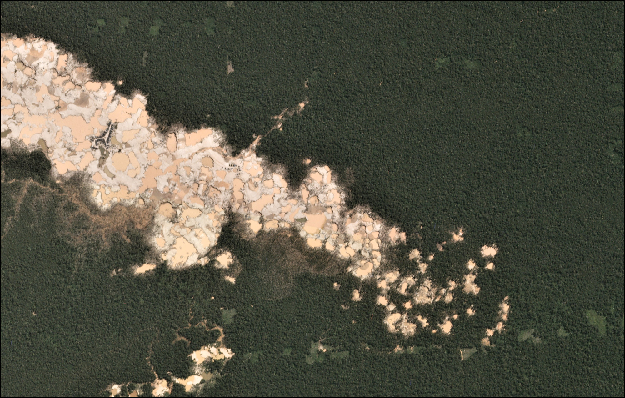
In 2015, satellite images detected a fresh clearing of rain forest in an indigenous reserve deep in the Amazon.
Within months, authorities in Peru had evicted the wildcat miners driving the deforestation, a rare victory in a region where a gold rush has laid waste to large swaths of pristine forest.
The rapid response was possible thanks to better use of satellite technology that now allows deforestation to be tracked in near real-time, giving governments "unprecedented" opportunities to take action, said Matt Finer, the lead author of a paper on the trend in the latest issue of Science.


, chief of staff for the 3rd Marine Division, bows in apology at the Okinawa Prefectural Government office in Naha on Thursday.")


 and the staff of Oseto Suisan Fisheries prepare to check on their sustainably farmed fish.")


With your current subscription plan you can comment on stories. However, before writing your first comment, please create a display name in the Profile section of your subscriber account page.