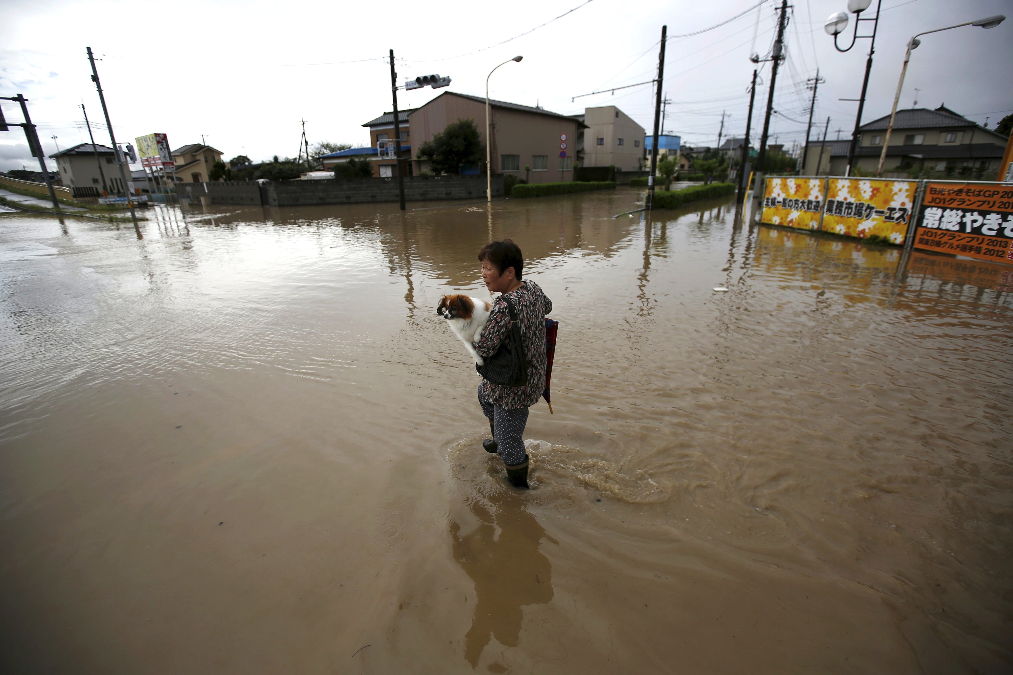
Torrential rain that caused flooding and the evacuations of tens of thousands of people across the Kanto region on Thursday was the result of a mass of humid air unable to escape the area, a pileup of thunderclouds — and possibly climate change, experts said.
The heavy rainfall in Tokyo and surrounding prefectures was caused by stationary humid air covering a wide swath of sky in the Kanto region, which was unable to move in any direction. It was hemmed in to the west by a chunk of cold air over the Sea of Japan, where Typhoon Etau fizzled out, and a block of humid air to the east over the Pacific Ocean, where Typhoon Kilo was swirling, according to Kunihiro Naito, a forecaster at Weathernews Inc., a Chiba-based weather information company.
"Usually, autumn typhoons pass quickly after making landfall in Japan, and strong rain clouds normally move eastward along with the typhoons," Naito said. "This time, however, after Typhoon Etau lost its strength and turned into a tropical cyclone in the Sea of Japan, it stayed there, while humid air kept flowing in from the south. This resulted in the formation of a rain zone in Kanto."


 waves to attendees as he departs after delivering a campaign speech in Yokohama on Sunday.")


 was included in the \"Continuity and Change\" exhibition that concluded in June.")


With your current subscription plan you can comment on stories. However, before writing your first comment, please create a display name in the Profile section of your subscriber account page.