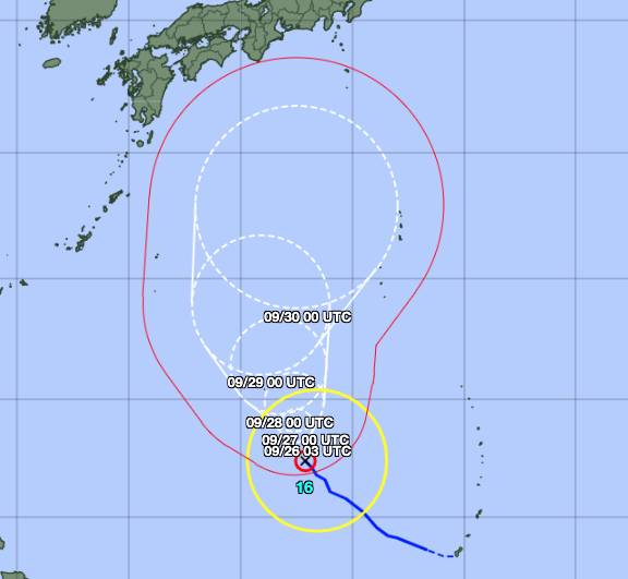
A typhoon on track to rapidly strengthen into a violent storm was moving northwest toward the Japanese archipelago on Saturday, but its uncertain course means it's too early to know how it will impact the country.
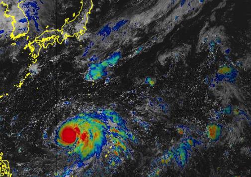
Typhoon Mindulle, the 16th storm named this year by the Meteorological Agency, was designated as “strong” on Saturday, putting it on par with a Category 1 hurricane. As of Saturday afternoon, it was packing sustained winds of 126 kph and maximum gusts of up to 180 kph.
By Tuesday, the storm is expected to strengthen into a “violent” typhoon, the agency’s highest level designation, bringing maximum gusts of up to 288 kph. It is likely to weaken slightly by Thursday as it continues to move north.
But the storm’s exact path is far from certain, and a slight shift could mean the difference between disaster and a near miss. The storm could follow a path further east and stay mostly over open ocean, but a shift in updated forecasts could see Japan take a direct hit.
Last week, Tropical Storm Chanthu left at least seven injured in the nation after making landfall in Kyushu.


 waves to attendees as he departs after delivering a campaign speech in Yokohama on Sunday.")


, performing with Connor Walsh as Albrecht, is one of six Japanese dancers at Houston Ballet.")
 and Hifumi Abe (second from right) with their brother Yuichiro (center) and their parents. “I’m always consciously trying to be a good older brother,” Yuichiro said.")


With your current subscription plan you can comment on stories. However, before writing your first comment, please create a display name in the Profile section of your subscriber account page.