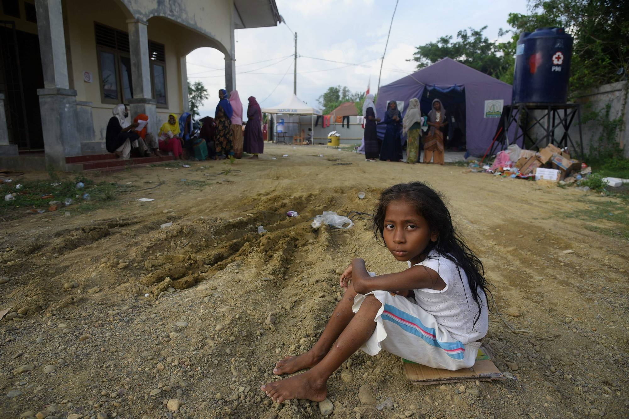
Three years ago, Myanmar’s military burned the Rohingya village of Kan Kya to the ground and bulldozed over its remains. Last year, the government erased its name from official maps, according to the United Nations.
About 5 kilometers from the Naf River that marks the border between Myanmar’s Rakhine state and Bangladesh, Kan Kya was home to hundreds of people before the army chased 730,000 Rohingya out of the country in 2017 in what the United Nations described as "a textbook example of ethnic cleansing."
The Myanmar military, now facing charges of genocide, said it was conducting "clearance operations” targeting militants.


 waves to attendees as he departs after delivering a campaign speech in Yokohama on Sunday.")


, performing with Connor Walsh as Albrecht, is one of six Japanese dancers at Houston Ballet.")
 and Hifumi Abe (second from right) with their brother Yuichiro (center) and their parents. “I’m always consciously trying to be a good older brother,” Yuichiro said.")


With your current subscription plan you can comment on stories. However, before writing your first comment, please create a display name in the Profile section of your subscriber account page.