

Oct 3, 2015
Stop the presses, Yahoo News is on a roll


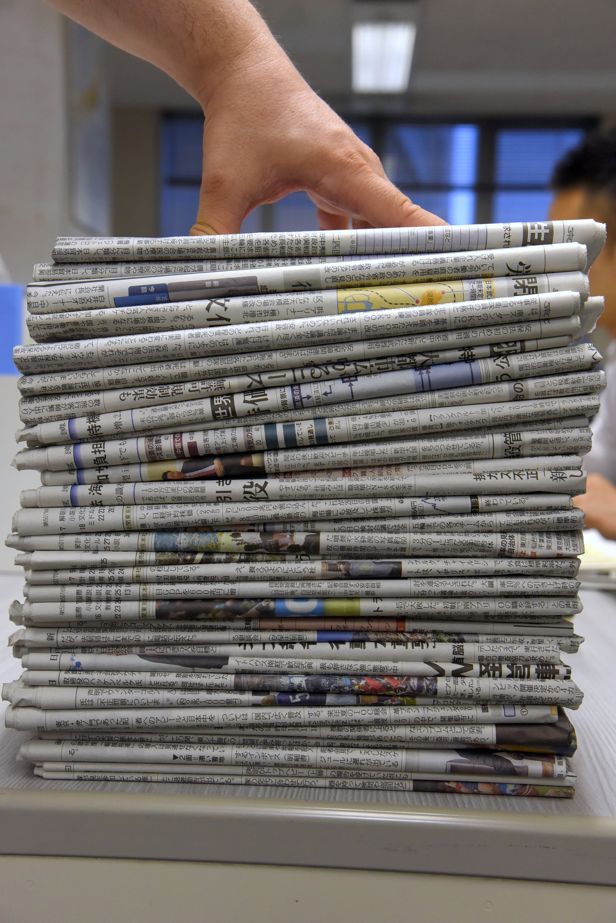
SUSTAINABLE JAPAN
SPECIAL SUPPLEMENTS

SUPPLEMENTS BINDER
