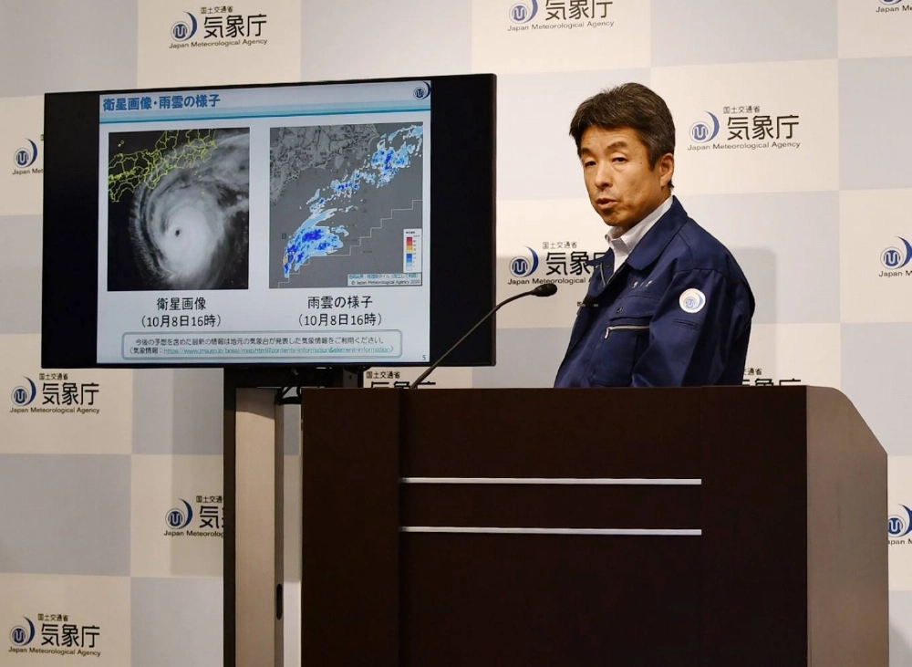
Typhoon Halong was east of the island of Hachijojima, part of the Izu island chain, and moving east-northeast past its southern islands as of Thursday morning, according to the Japan Meteorological Agency.
As of 2 p.m. on Thursday, Halong, the 22nd named storm of the year, was moving at around 40 kilometers per hour with a central pressure of 950 hectopascals. Maximum sustained winds near the center reached 162 kph, with maximum instantaneous wind speeds of 234 kph.
At Hachijojima, peak wind speeds of 197 kph were recorded at 5:24. The island saw a series of record-breaking downpours, with 92 mm of rain falling in the hour prior to 6 a.m. Thursday. By 10:30 a.m., the 12-hour total rainfall had reached 349 mm, surpassing the previous rainfall record for the region.
The agency initially issued its highest-level emergency alert for Hachijojima due to heavy rain from the powerful storm and urged residents to evacuate immediately, but later downgraded the warning at 2:30 p.m after the rain passed.
Waves near the typhoon’s center are forecast to reach around 10 meters throughout Thursday. Authorities warned residents to brace for destructive winds, landslides, high waves and flooding in low-lying coastal areas.
Rainfall among the Izu islands is expected to reach about 180 mm in the 24 hours to 6 a.m. on Friday.
Meanwhile, Severe Tropical Storm Nakri is expected to approach Amami Oshima and southern Kyushu on Saturday or Sunday. It is then expected to move northeastward over the seas south of western and eastern Japan by Tuesday.


With your current subscription plan you can comment on stories. However, before writing your first comment, please create a display name in the Profile section of your subscriber account page.