Because of fears of a large earthquake hitting the Tokyo region, the metropolitan government's disaster vulnerability survey released Monday may warrant a close look.
More than seven decades have passed since the 1923 Great Kanto Earthquake struck, and concerns persist about when the next Big One will hit. The metro survey rated areas in Tokyo according to the risk of damage in the event of a large quake. It considered five key factors: ground conditions; durability of structures; risk of postquake fires; risks to residents such as from falling objects and collapsing buildings; and evacuation routes and shelter areas.
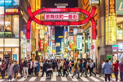
Those factors were used in determining which "chome," or address block, are likely to suffer the worst damage. The report lists 83 areas considered particularly vulnerable. For example, Honcho 6-chome in Nakano Ward is ranked the most potentially dangerous in terms of susceptibility to fire, while Shinjuku 3-chome tops the list in terms of risks to people.
Amanuma 3-chome in Suginami Ward was rated the riskiest in terms of evacuation routes and shelter, while Kyojima 2-chome in Sumida Ward took the lead in the category of fragile structures. Of Tokyo's 5,080 chome, Sumida Ward's Kyojima 3-chome is potentially the most dangerous in terms of all five factors, according to the report.
Regarding the number of refugees that would be created by a major quake, a simulation by the metropolitan government shows an earthquake in Tokyo measuring 7.2 on the Richter scale would make it difficult for 3.71 million people to return home within the first day. The simulation also shows that more than 4 million would be forced to do so on foot.
The 3.71 figure breaks down to 2.27 million commuters, 0.6 million students and 0.84 million shoppers, the metro government's revised disaster-management guidelines said. The guidelines also stress the need to improve cooperation among volunteers, including non-Japanese to assist other foreigners.
Former editions on districts vulnerable to quake damage cited areas measuring 500 sq. meters by 500 sq. meters, rather than "chome," or address blocks. It also did not name streets. "In a sense, we had intentionally kept vague (the specific addresses) because the direct impact on a district, such as in land prices, could be too strong," a metro official in charge of the survey said.
Copies of a brochure on the survey results and the full volume of the antidisaster programs will be sold for 470 yen and 2,930 yen, respectively, on the third floor of the metro government's head office in Shinjuku Ward starting in April.


With your current subscription plan you can comment on stories. However, before writing your first comment, please create a display name in the Profile section of your subscriber account page.