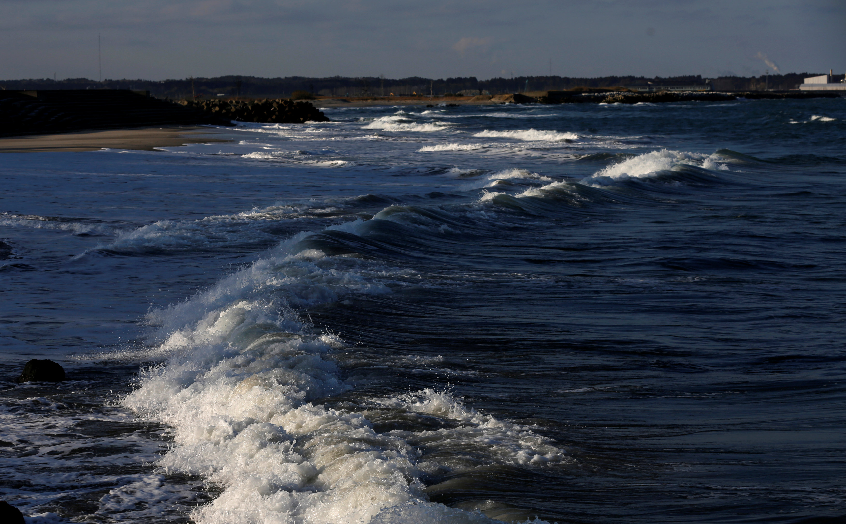
The surface level of the Pacific coastline in eastern Tohoku has been rising since sinking in the March 2011 giant earthquake, prompting action to lower the height of seawalls in some areas.
The changing surface level reflects continued active crustal movements six years after the magnitude-9.0 quake, which sent a large tsunami across a wide swath of the region.
The Geospatial Information Authority says not all areas have risen since the disaster, and that it is difficult to predict future trends given the complexity of the phenomenon.