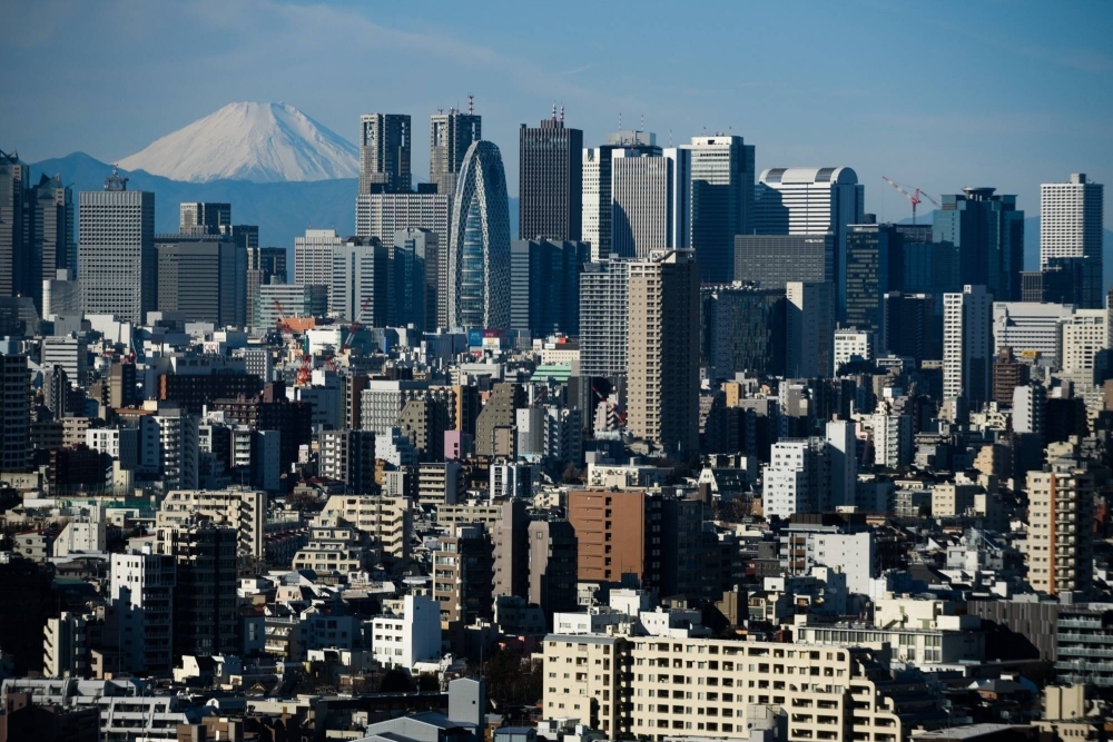
What can you learn about a city just by looking at it? Seventy years ago, urban planner Kevin Lynch walked the streets of Boston to find out. As he wrote in “The Image of the City,” he and his team found a metropolis that was “vivid in form and full of locational difficulties,” and they were fascinated by how people used landmarks like the Charles River and Boston Common park to orient themselves around its web of streets.
Lynch’s groundbreaking research showed that the image of a city can tell us a lot about the lives inside of it. Now, as artificial intelligence learns to process street imagery, we are realizing that the renowned urban planner had barely scratched the surface.
Our research at MIT has found that, once trained, visual AI is shockingly accurate at predicting things such as poverty and crime rates, mobility flows, real estate values and even public health outcomes — just by analyzing photos.


