Although safe from devastating climate-related disasters, Luxembourg has become the newest hotbed for innovation that protects the most disaster-prone countries around the world, thanks to RSS-Hydro.

The research and development firm has combined its expertise in geospatial technology and sustainable development to craft solutions that strengthen global resilience against hydro-meteorological threats. It uses drone systems, remote sensing and advanced modeling techniques to provide new approaches in flood risk analysis and disaster preparedness.
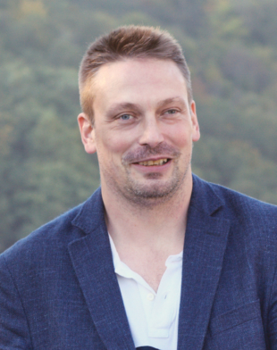
“Our mission is to help with geospatial modeling and geospatial intelligence to get much better and faster impact analysis to people and decision-makers, so they can manage disasters and climate risks better. It means we focus very much on speed of delivery and impact,” said founder and CEO Guy Schumann.
The company’s products and services include high-precision 3D flood maps generated through artificial intelligence-driven models, Earth observation-based services to support sustainable management of ecosystem services and development programs and applied hydrologic research in collaboration with academic institutions.
“We have been focusing on 3D visualization to speed up the intake of the information, especially for nonexperts. SafeCity, a product we would like to expand in Japan, allows us to create a complete, high-precision digital twin that will serve as a guide on how to prevent flood disasters,” said Schumann, who has obtained a doctorate in geography, remote sensing and hydrology.


