Drones have been used in pesticide spraying in agriculture since the 1980s. Drones have become smaller, lighter and more high-performance machines. In addition to agriculture, they have been used in various fields, including the construction, medical and entertainment industries.
The Ministry of Economy, Trade and Industry (METI), which regards the expansion of the drone business as the “Aerial Industrial Revolution,” created the “Road Map for Aerial Industrial Revolution” in 2017 and has revised it several times to date.
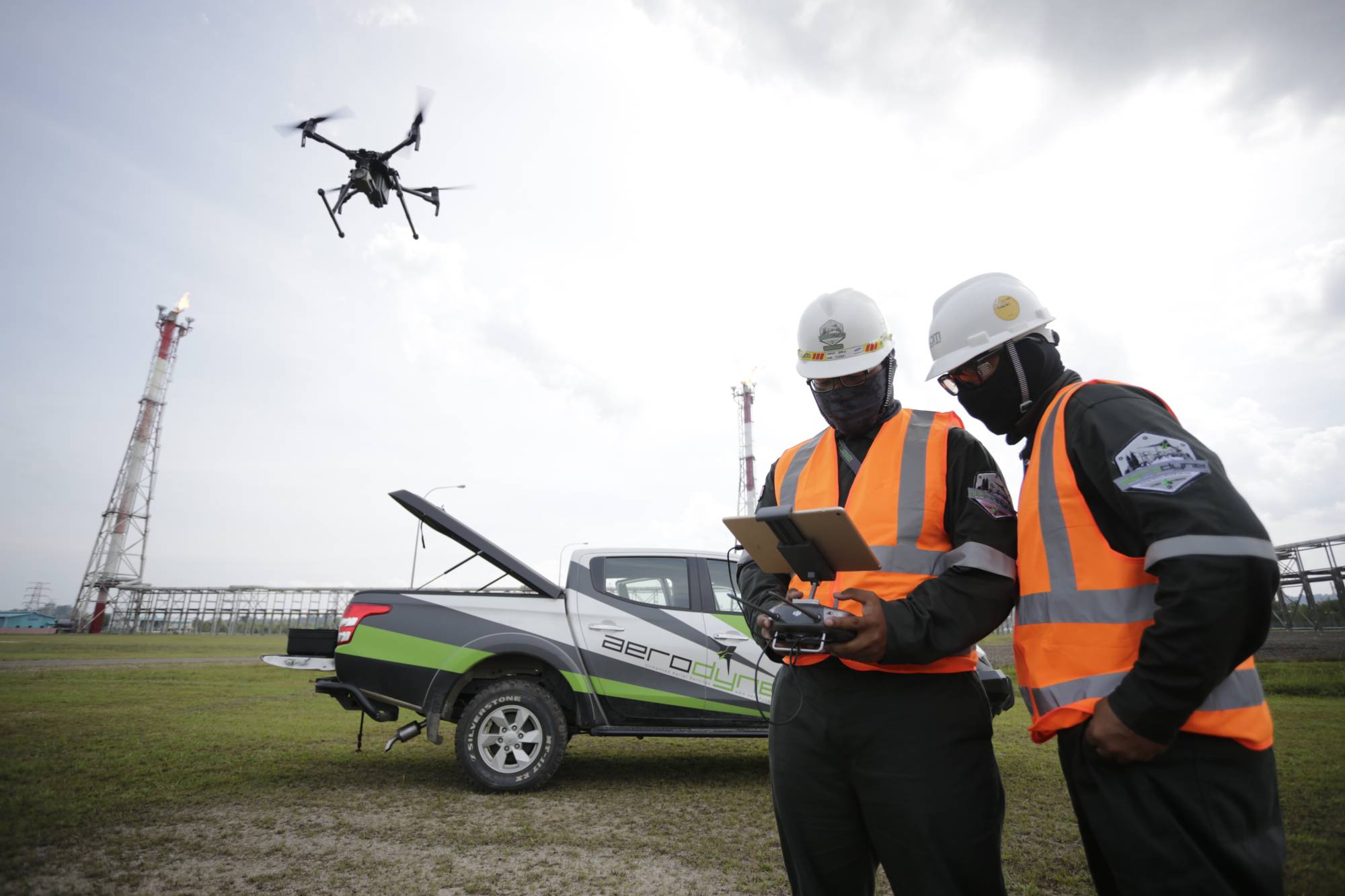
METI’s road map sets four levels of drone use. Level 1 is for human-piloted flights with visual-line-of-sight operations, which are used for filming from the sky and inspecting infrastructure at high elevations where it is difficult for people to reach.
Level 2 is automated or autonomous flights with visual-line-of-sight operations, such as pesticide spraying and civil engineering surveying.
In levels 3 and 4, the drones are operated beyond the visual-line-of-sight without the safety assistant of a pilot. Level 3 is designed for flights in less-populated areas and many of the current drones in use are in this stage.
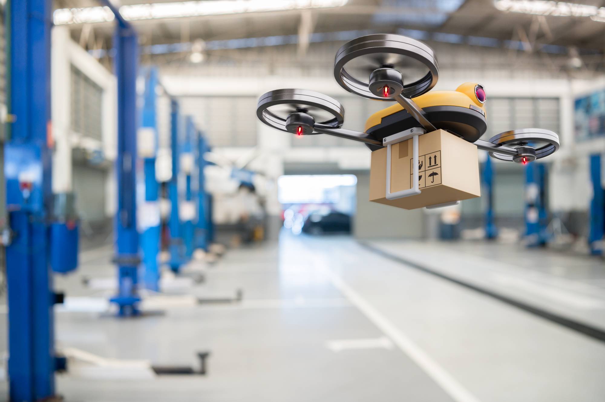
The final stage, level 4, refers to circumstances where the drones are operated beyond the visual-line-of-sight in populated areas; examples include uses for urban delivery and security, among others. The METI’s road map targets 2022 to realize level 4.
However, with just over a year to go, many issues need to be addressed regarding technology and the overall environment. The safety of the aircraft must be ensured and the pilots who operate the drones must be highly skilled. The aerial use of mobile phone networks needs to be developed and laws and rules have to be set for drone utilization.
More positively, the drone business is expected to be a promising growth industry in the near future. Much of the information that drones collect can be analyzed in a short time and huge amounts of data can be stably transmitted, maximizing the use of technological innovations such as artificial intelligence and 5G.
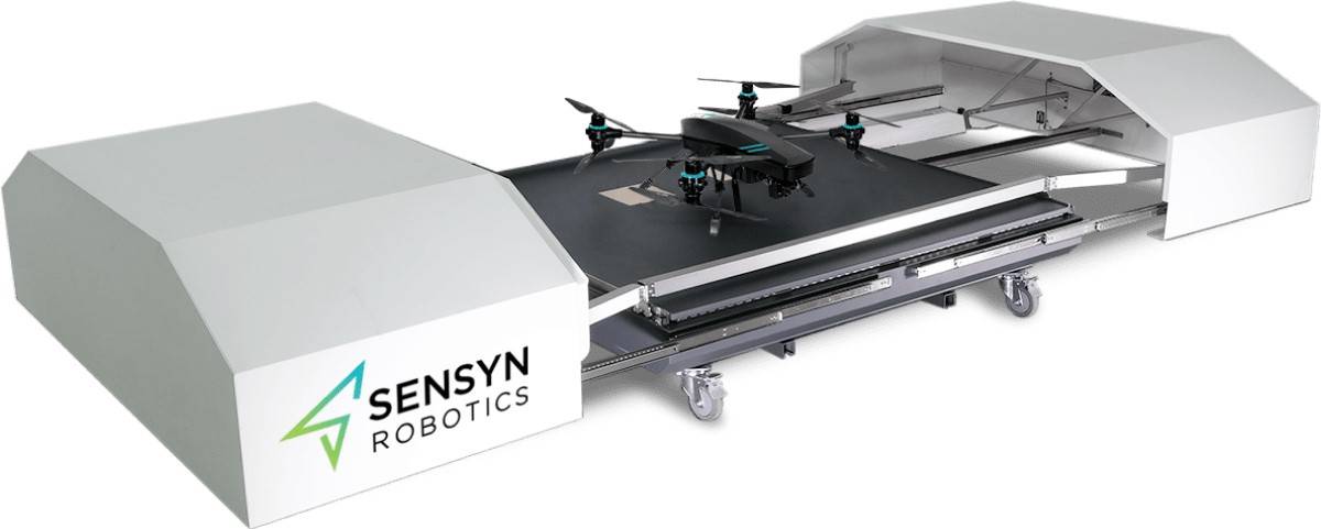
Drones are already being used for practical purposes in logistics, as well as in many other fields, such as disaster research, security and entertainment.
The global spread of the coronavirus proved that drones can be used to provide remote medical care without exposing medical workers to the virus.
The drone business is a major growth industry, not only because of its high value, but also because it promotes the use of previously undeveloped airspace.
This page has been produced with the support of the Ogasawara Toshiaki Memorial Foundation for the Promotion of Science and Engineering, which was founded by late Toshiaki Ogasawara, the former chairman and publisher of The Japan Times.
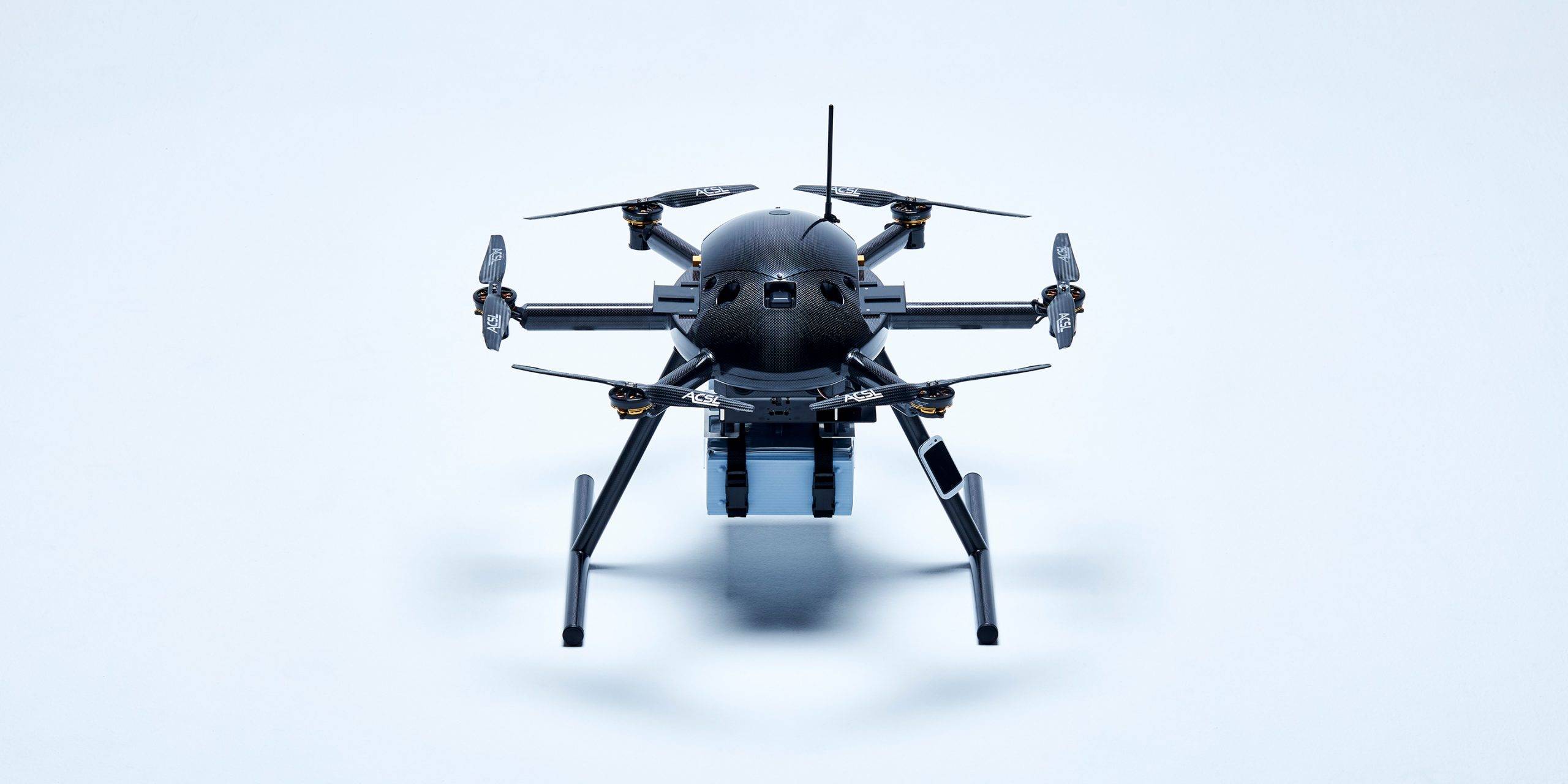
WIDE VARIETY OF DRONES