When we were looking for property we consulted topographical maps prior to checking a particular piece of land in person. Understanding the elevation of a plot is important if you're buying land near the coast or along a river. In the event of flooding or a tsunami, it's obviously better to be located on higher ground. Older topographical maps are also helpful because they can show you the contours of the land before it was developed for residential housing.
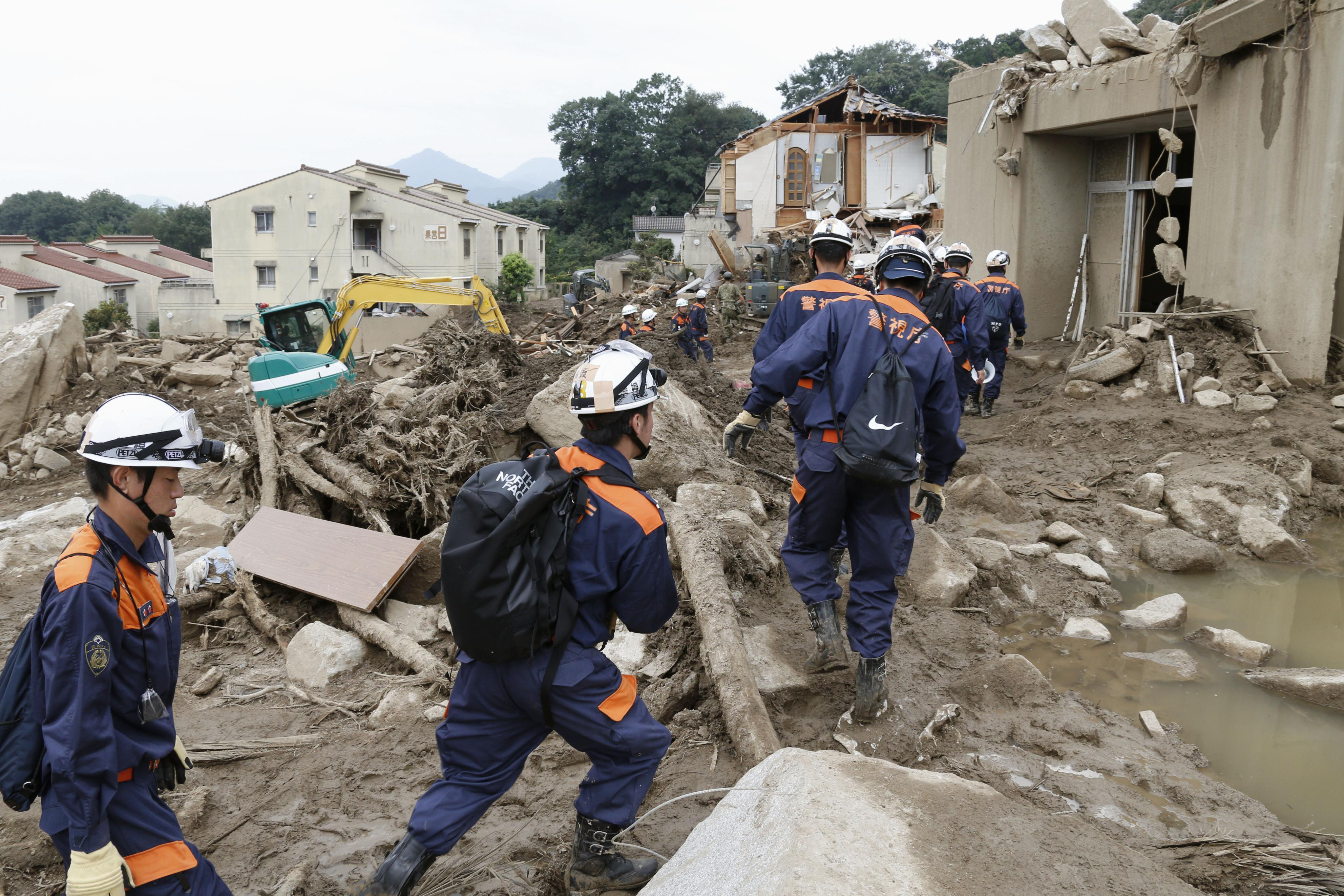
Because of Japan's mountainous terrain and vast tracts of farmland, housing developments are often carved out of rolling hills, with the valleys filled in using dirt taken from the hilly portions. In such cases, the filled-in portions can be unstable in the event of earthquakes and torrential rains, so knowing the original topography is useful when you talk to a realtor about land stability.
If you're looking in a city or a more developed suburban area, it's also helpful to consult hazard maps, which many local governments make available to residents. One of the main purposes of these maps is to tell people where to go in the case of an emergency, but they also indicate low-lying areas that are more susceptible to flooding. In a highly developed city like Tokyo, such maps are invaluable, since the original topography has been paved over. Just because these features are now covered in concrete, doesn't mean they are not affected by natural phenomenon.


