Detailed sea-floor maps made during the unsuccessful search for missing Malaysia Airlines Flight MH370, released by Australia on Wednesday, could help increase the knowledge of rich fisheries and the prehistoric movement of the earth's southern continents.
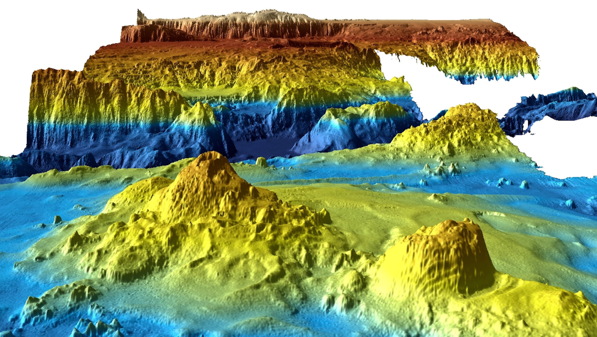
The Indian Ocean search ended in January after covering a lonely stretch of open water where under-sea mountains larger than Mount Everest rise and a rift valley dotted with subsea volcanoes runs hundreds of kilometers long.
The whereabouts of the plane, which vanished in March 2014 en route to Beijing from Kuala Lumpur with 239 people on board, remains one of the world's greatest aviation mysteries.