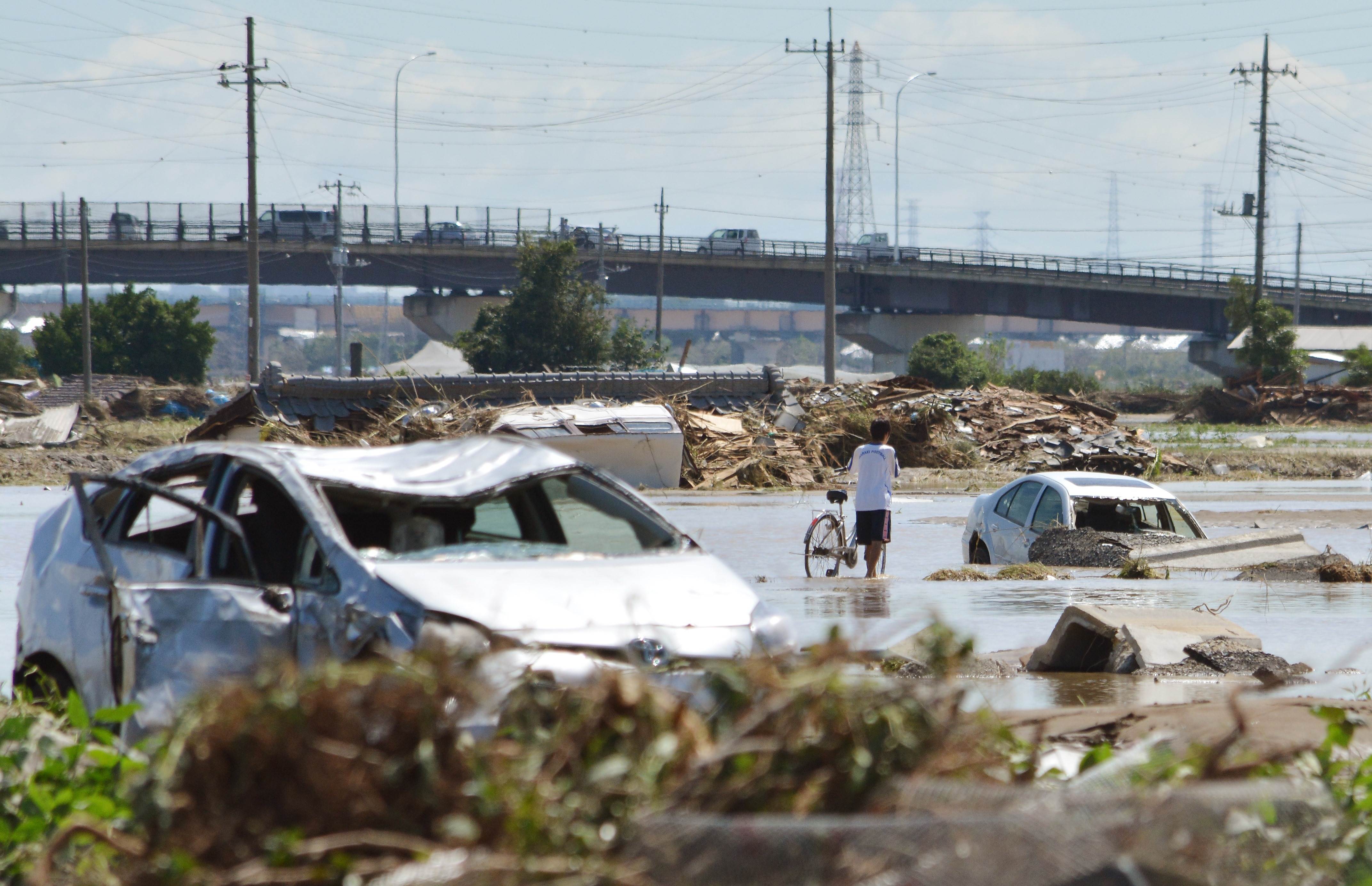
The land ministry knew the Kinugawa River was prone to flooding and created a detailed simulation of watershed damage 10 years ago. The city of Joso, Ibaraki Prefecture, where riverbanks collapsed and houses were swept away Thursday, also had a flood hazard map for residents ready.
Despite all the preparations, this week's typhoon-triggered downpours and resulting landslides saw hundreds of people failing to evacuate, leaving many stranded on rooftops or displaying SOS signs from the balconies of their homes. One man clung to a utility pole for several hours.
Authorities did alert residents in high-risk areas in advance. The Meteorological Agency issued a tokubetsu keiho for heavy rain, the highest-level special warning, for all of Tochigi Prefecture, at 12:20 a.m. on Thursday and for the whole of Ibaraki Prefecture at 7:45 a.m. the same day. The banks of the Kinugawa River in Ibaraki broke at 12:50 p.m.