Two typhoons are approaching western Japan, including areas already battered by torrential rain and flooding last month, with the weather agency warning of heavy downpours, strong winds and high waves toward the weekend.
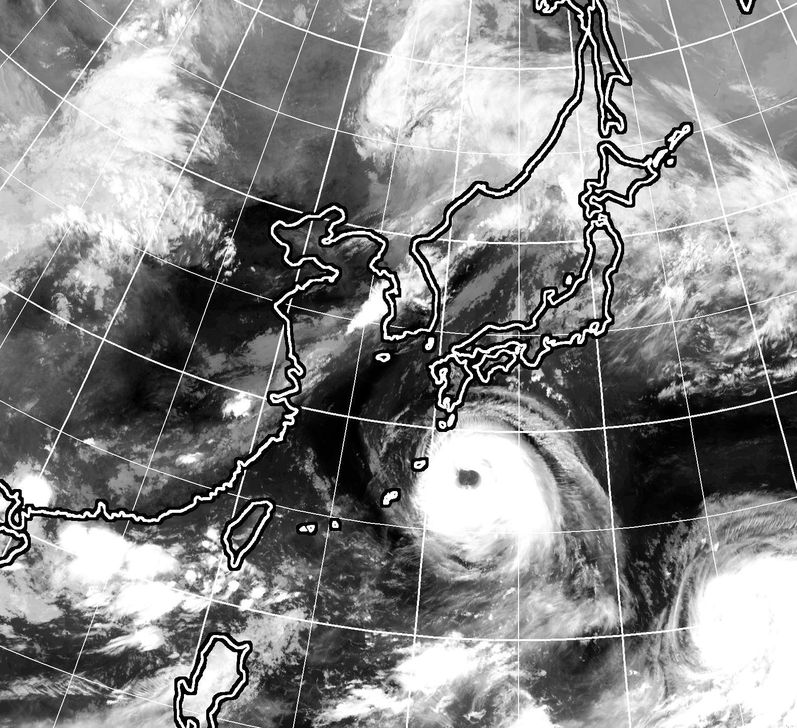
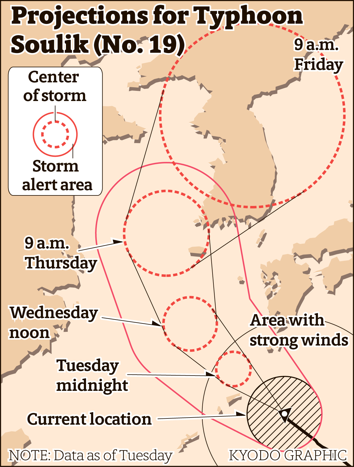
Typhoon Soulik, which is maintaining its strength and packing gusts of up to 216 kph, is projected to approach the Amami island chain and the southern part of Kyushu from later Tuesday to early Wednesday.
As of 5 p.m. Tuesday, it was traveling northwest across the Pacific Ocean some 110 kilometers east-northeast of Amami Island at a speed of 25 kph with an atmospheric pressure of 950 hectopascals at its center.
The Meteorological Agency forecasts that the typhoon is unlikely to make landfall on Kyushu, moving instead across the sea to its west, but stormy weather is expected in the region.
The southern Kyushu and Amami region are expected to receive up to 300 millimeters of rainfall by 6 p.m. on Wednesday, with 250 mm in the Shikoku region. Heavy rain is also expected in the Kinki and Tokai regions.
Typhoon Cimaron, currently located far south of Tokyo, is projected to approach western Japan on Friday and make landfall. The typhoon is packing gusts of up to 162 kph, but the weather agency expects it to strengthen a bit while moving toward the archipelago.
As of 9 a.m. Tuesday, the typhoon was moving at 25 kph with an atmospheric pressure of 980 hectopascals at its center.
In July over 220 people died as heavy rains hit western Japan, triggering massive flooding and mudslides. The prefectures of Hiroshima, Okayama and Ehime were hit the hardest.